
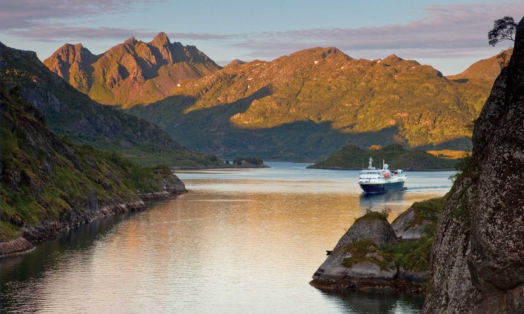
When Lindblad-National Geographic expedition ships explore the North Atlantic, they follow in the wake of countless others who have gone before. Explorers and settlers, fishermen and whalers, traders and pirates, immigrants and emigrants. The list is endless. Get Inspired By Photos, Videos, Webinars, Stories, And Exclusive Offers. Sign Up
The stories of these people are preserved in language, custom and at sites all around the vast coastline of islands and continents which define the North Atlantic Ocean.
Over recent decades, historians, archaeologists, and all manner of scientists have learned much more about these early seafarers and settlers. In this series of blog posts, we will call in at some of the places our ships visit and discuss aspects of the lives of these intrepid peoples who braved the sea roads, harnessing the ocean and coastal resources, establishing communities and forging nations.
Early Seafarers: Intrepid Irish Monks
Prehistoric peoples who moved through Europe, settling the islands which fringe the British Isles have left many traces for archaeologists to find. How far beyond those islands they ventured, however, is open to debate.
It was once claimed that a place called Thule, described by the 4th century BCE Greek explorer Pytheas, is Iceland, but that is now generally discounted. The earliest firm records we have of North Atlantic seafarers are of bold Irish monks. St Brendan is perhaps the best known of these, and legend would have it that he reached North America in the 6th century AD. Although, sadly, there is no evidence to support this colourful story, in 1976, Tim Severin built a replica currach and proved, to his satisfaction, that the voyage was possible. His book The Brendan Voyage (1978) became an international best seller.
A currach is a traditional Irish frame-built, skin-covered vessel, and it is in such boats that Irish monks, seeking voluntary exile, ventured beyond the British Isles, reaching the Faroe Islands and travelling as far as Iceland. A regular stop for our ships on Iceland expeditions is Vestmannaeyjar, (the Westman Islands) which lie off the southern coast of Iceland, whose name commemorates these seafaring Celts.
The monks became known as Papar or Papae (‘little fathers’) and lived their ascetic lives of prayer and contemplation in rugged, isolated places. Remarkably, their former presence has come down to us in place-names. Several islands called Papey exist in the western and northern isles of Scotland. In the Faroe Islands, Paparøkur lies near Vestmanna (‘the harbour of the Westman’) and our ships pass close to Papurshílsur on Streymoy as we explore these dramatic Atlantic islands.
A famous medieval account of the settlement of Iceland, the 12th century Íslendingabók, records that when the Vikings arrived ‘…Christian men were here, whom the Norwegians call papar; but they departed afterwards, because they would not be here with heathen men.’
How Did These Early Seafarers Navigate?
In the centuries before navigational aids such as compasses, sextons and chronometers existed, finding a route across unchartered seas was fraught with danger. Sailors would hug the coastline, going ashore at night if they could, and would keep land in sight for as long as possible. Many headlands and coastal landmarks still bear the names given by early navigators.
Once out at sea there was only the sun and the stars to guide them. They did, however, have the accumulated knowledge of their forefathers and would observe patterns of wind and tide and current to build upon it. Clouds forming over land and the behaviour of seabirds might indicate the direction of land while the seasonal migration of birds and whales would be added to their understanding. There is reference in the Icelandic sagas to the Vikings using ‘sun-stones’ (crystals) to polarise light and establish the position of the sun on cloudy days, but the value of such aids would have been limited.
A Viking Ocean
It was the huge advances in shipbuilding which allowed the coastal people of Scandinavia to launch what has come to be known as the Viking Age. Their ships with their single, square-rigged sails, were swift and strong and well able to cross large stretches of water, flexible enough to ride the waves and endure the worst of storms.
Several of these magnificent ships have been excavated throughout Scandinavia and so archaeologists know a great deal about their construction and capabilities.
Viking raiders used their ships to launch deadly attacks on European coastal sites, taking loot and slaves; Viking traders penetrated deep down the rivers of Russia, into central Europe and beyond while Viking explorers made the North Atlantic their realm, reaching Iceland, Greenland and North America. These remarkable sailors also explored the High Arctic, made contact with Skraelings (the Inuit) and brought skins, furs and ivory back to Europe as well as fish, whale meat and much-prized gyrfalcons.
I’ll be saying more about these extraordinary vessels in the next blog.
A Different View of the World
We are used to looking at maps of the Atlantic where north is at the top. Early seafarers from Europe might, however, have had quite a different view of the world. You have only to tip a map of Europe on its side to see the Atlantic from a new perspective; the islands of the British Isles, especially Orkney and Shetland, and the Faroes become stepping stones to Iceland and Greenland, and beyond them to the coast of Canada and New England.
During much of the Viking Age the climate was benign and people settled in several North Atlantic coastal places where crops could be grown and a summer harvest was assured. Towards the end of the 13th century, however, the Atlantic pack ice began to expand, heralding the Little Ice Age. Settlements founded three centuries earlier, in Greenland especially, were abandoned and throughout the North Atlantic life became more challenging.
Stories Waiting to be Told
Advances in archaeological and related sciences are happening every day. Our understanding of human activity around the North Atlantic in the centuries since Irish monks set sail in the skin-covered boats is getting deeper and wider. Soil analyses can show us the changing pattern of land usage, excavated animal bones chart the arrival and exploitation of domesticated species while developments in genetic studies help us trace the origins of people, and track their movements.
Our ships follow in the wake of these others, along the North Atlantic sea roads, and it is worth sparing these intrepid wanderers a thought as we stand on deck looking out for whales or watching the sun setting over the western horizon.
Stay tuned for more inspiring North Atlantic stories from Aisla.
Ailsa Mainman is English by birth but grew up in Canada before returning to England to study archaeology. With a doctorate in Anglo-Saxon studies, she worked for York Archaeological Trust researching material from the ground-breaking Viking age discoveries which later became the world famous Jorvik Viking Centre. She has been joining Lindblad-National Geographic expeditions, intermittently, for over twenty years, lecturing on many aspects of the North Atlantic littoral.