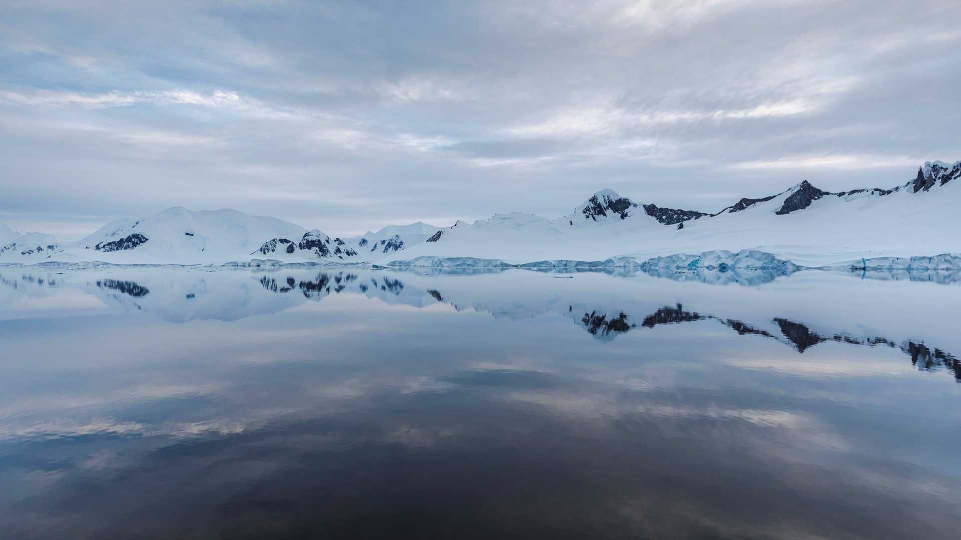
A superb day below the Antarctic circle on the National Geographic Resolution began at 0400 after a call from the bridge to alert me to the beautiful light and gorgeous mountain reflections on the water as we transited “The Gullet,” a narrow passage between islands in Marguerite Bay. On a Zodiac cruise after breakfast, we enjoyed sunny and calm conditions with great wildlife viewing of a flock of Antarctic shags in particular. After lunch a visit to Jenny Island allowed us to spend time at the southernmost haul-out of some very charismatic, noisy (and smelly!) elephant seals. A short walk to stretch our legs provided stupendous views of the mountains surrounding Marguerite Bay.
- Daily Expedition Reports
- 03 Jan 2022
Marguerite Bay, 1/3/2022, National Geographic Resolution
- Aboard the National Geographic Resolution
- Antarctica
Andrew Peacock, Naturalist/Certified Photo Instructor
Andrew was born in Adelaide, South Australia and (mis)spent his youth surfing and kayaking in the ocean, as is the case for many Aussies! After graduating from medical school, he spent a year working as a surgical resident in Santa Barbara, Californi...
Read MoreShare Report
Related Reports
1/6/2022
Read
National Geographic Resolution
Deception Island
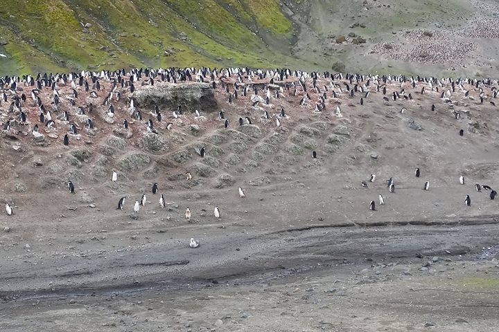
This day was like a cherry on the top of a cake for the entire expedition. In the morning, our ship approached Deception Island, which has one of two active volcanoes in Antarctica. In fact, the entire island represents leftovers of a gigantic volcano that violently erupted about 10,000 years ago creating an underwater caldera (a blast hole) in the central part of the volcano. So, the island represents a rim of land around the caldera bay and resembles a horseshoe in outline. We had to land outside of the caldera bay on the tops of large swale waves. Thousands and thousands of busy chinstrap penguins greeted us both during our approach to the landing and on land, where dramatic wind-carved sculptures sat on an impressive cliff made of countless volcanic ash layers. We hiked for about 1.5 kilometers maneuvering among nesting sites of penguins. Around 50,000 chinstrap penguins nest in this area. Many curious penguins came directly to our feet and had their portraits recorded on numerous cameras. Chicks were still very young and had gray baby plumage. From time to time, we saw brown skuas and giant petrels among penguin colonies. These birds of prey were looking for lunch. Geology of the site was as impressive as the bird life. Despite the island’s short geological history (this volcano and the island appeared only 1.5 million years ago), we saw plenty of evidence of geological events. An Ice Age glacier completely buried the island under a thick layer of ice and as it moved, it bulldozed volcanic deposits leaving very smooth hills behind and depositing new hills of morainic material. After the thick continental glacier melted, small valley glaciers kept doing their job of “eating” mountain slopes and creating cliffs along the directions of their movement. New eruptions covered the results of the glaciers’ work with new layers of volcanic ashes sprinkled with volcanic debris. The wind helped create this dramatic landscape, blowing black sand and dust around and depositing black dunes. Finally, penguin activity created a dense network of eroded trails that over thousands of years added their own contribution to the landscape relief. After everyone was back aboard, the captain sailed our ship into the caldera bay. Over there, we could see remains of a whaling station from the beginning of the 20th century and remains of scientific stations abandoned after the eruption of 1970. Along the shoreline, we could see areas with steam coming up, indicating that the volcano is just having a nap but not yet sleeping. The rest of the day National Geographic Resolution was set on crossing the Drake as this was our last day in Antarctica. Goodbye, land of the sparkling ice! After dinner, guests enjoyed a crew show that featured many talented singers, musicians, and magicians.
1/5/2022
Read
National Geographic Endurance
Peter I Island, Bellingshausen Sea
Brilliant light and an electric atmosphere pervaded National Geographic Endurance as we began our day today. Expeditionary travel may mean different things to different people, depending on experience, ability, and outlook. There is no question, though, that today we are among a very privileged few who have been on an expedition to the isolated island named after Peter the Great; a forbidding volcanic island remotely rising out of the abyssal plain of the Bellingshausen Sea. Often surrounded by raging storms and choked with icebergs and pack ice, National Geographic Endurance was able to easily approach the island, with calm winds and placid seas, and only a small amount of pack ice to negotiate. Few people have ever stood on the small rocky spit called Framnæsodden where we were able to land. We explored Sandefiordsbukten by Zodiac boat and in kayaks, enjoying a full day of unusually peaceful weather in this unique sea- and land- scape. Fewer even were the brave souls who celebrated this experience with a plunge into the 0.5 C waters; shocking and refreshing, and endlessly entertaining to the more rational folk who watched the spectacle from the upper decks.


